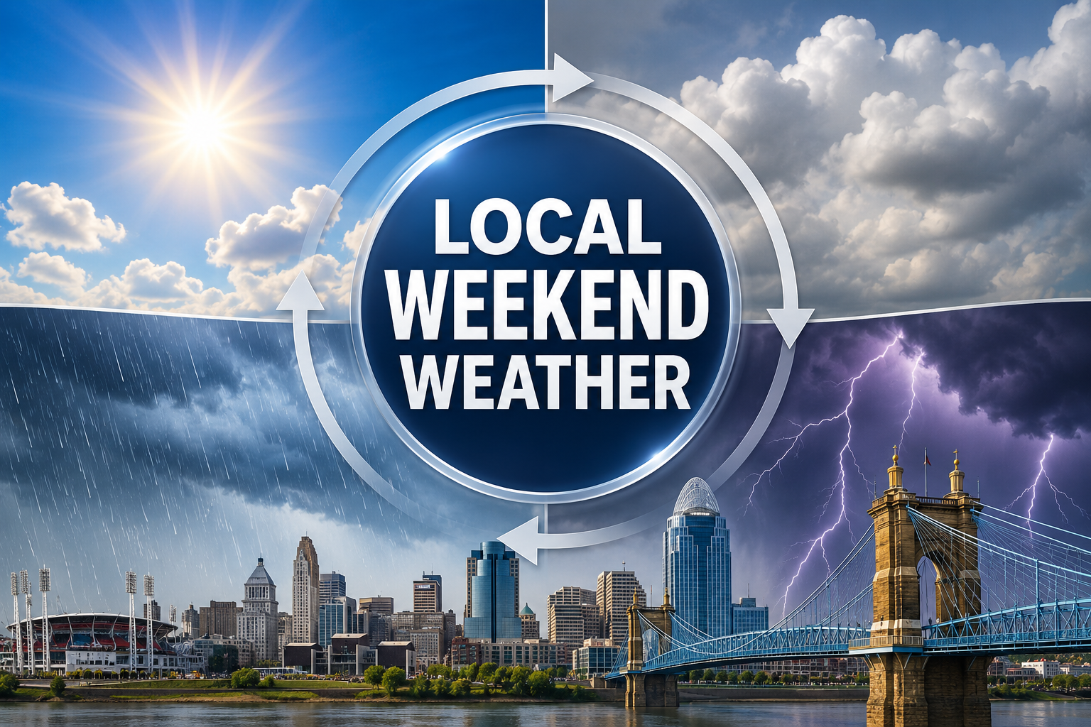
After severe storms and flash flooding hit the Cincinnati area on July 17 and July 21, residents along the Princeton corridor can expect a calmer stretch. The weekend forecast points toward clearing skies and rising temperatures across Sharonville, Springdale, Evendale, and Woodlawn.
Friday night, July 25
Mostly cloudy skies gradually clearing, with a low around 61°F and a light north wind, according to the NWS forecast for Sharonville. A good night to open the windows.
Saturday, July 26
Sunny with a high near 87°F and light, variable winds. UV levels are expected to reach the Very High range (index 9), so sunscreen is worth packing for anyone spending time outdoors. A slight chance of a stray shower remains in regional models, but the NWS Sharonville forecast shows dry conditions.
Saturday night, July 26
Partly cloudy. Lows drop to around 67°F with a light north wind.
Sunday, July 27
Mostly sunny as temperatures push to a high near 91°F. Winds shift from the west around 6 mph in the afternoon. UV remains Very High.
Sunday night, July 27
A chance of showers and thunderstorms develops after 2 a.m. Partly cloudy with a low around 72°F and a 30% chance of precipitation, per the NWS.
Monday, July 28
The warming trend peaks with a high near 95°F under mostly sunny skies. A chance of showers lingers before 8 a.m., and another round of showers and thunderstorms is possible after 2 p.m. The chance of precipitation is 40%. Humidity eases compared to Sunday, with winds from the southwest around 11 mph.